
Extreme Heat Vulnerability Assessment
Identifying Extreme Heat Vulnerable Populations in the North Shore
Client:
North Shore Emergency Management & Partner Municipalities and First Nations
Location:
The North Shore Region of Metro Vancouver
Hazards of Concern:
Multi-Hazard
Period of Work:
April 2023 – September 2024
North Shore Extreme Heat Resilience

Extreme Heat Vulnerability Mapping Story Map
As part of this work, Resilience Mapping Canada developed an extreme heat vulnerability mapping ESRI Story Map for the NSEM Extreme Heat Forum that explores the many factors influencing extreme heat on the North Shore.
The Story Map included:
A description of the mapping process developed for the project
Indicator maps for each of the 20 vulnerability and environmental exposure indicators
Vulnerability theme maps for the four themes identified for the region
An overall vulnerability map with weighted contributions for each of the four themes
Extreme heat environmental exposure map identifying areas likely to experience elevated temperatures during extreme heat events
A bi-variate map combining environmental exposure and vulnerability
Hazards of Concern
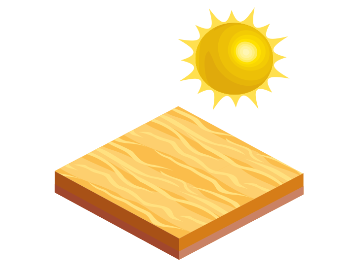
Extreme Heat
An extreme heat event is an extended period of dangerously high temperatures and/or humidity. Specific thresholds for daytime highs, overnight lows, and humidity levels will vary for different ecoregions.
Public Story Map
Extreme Heat Vulnerability Mapping
??
High Exposure & High Vulnerability
Bi-variate…
Project Deliverables
The primary deliverable for this project was the public story map shown above…